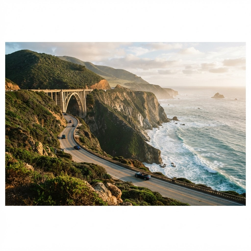
Big Sur cliffs, surf & sea otters
Pacific Coast Highway
California's cliff-edge coast road
Distance
~1,000 km (San Francisco → Los Angeles)
Duration
4–7 days
Best season
Apr–May & Sep–Oct
Difficulty
Easy–moderate · winding cliffs
California State Route 1 hugs the Pacific from San Francisco to Los Angeles, threading the cliffs of Big Sur where the mountains drop straight into the surf. Add arched bridges, sea-otter coves, elephant-seal beaches and a hilltop castle, and it's one of the world's great coastal drives.
Along the wayStops
San Francisco
Start at the Golden Gate before heading south along the coast.
Monterey & 17-Mile Drive
Cypress-lined cliffs, Pebble Beach and a famous aquarium on the bay.
Bixby Creek Bridge
The graceful concrete arch that is the signature image of Big Sur.
Big Sur & McWay Falls
An 80-foot waterfall spilling onto a golden cove framed by redwoods.
Hearst Castle
A hilltop mansion above San Simeon, with elephant seals hauled out on the beach below.
Santa Barbara
Red-tiled "American Riviera" town before the final run into Los Angeles.
Good to know
- Drive north-to-south to ride the ocean-side lane and pull off easily at viewpoints.
- Big Sur occasionally closes for landslides — check Caltrans road conditions before you set out.
- Lodging in Big Sur is scarce and pricey; book well ahead or stay in Monterey or Cambria.
Getting the car
Fly into San Francisco and take a one-way rental to Los Angeles. The road is paved and easy, but the curves are slow — plan generous driving time.
Next route
South Island Circuit